Finding the Perfect Pool Spot: How GIS Mapping Can Simplify Your Backyard Planning
Are you dreaming of a new inground swimming pool but feeling overwhelmed by the process of figuring out where it can go? Don’t worry—technology is here to help! With the advent of Geographic Information Systems (GIS), finding the perfect spot for your pool has never been easier. Let’s dive into how GIS software can make your backyard transformation a breeze.
What Is GIS Software?
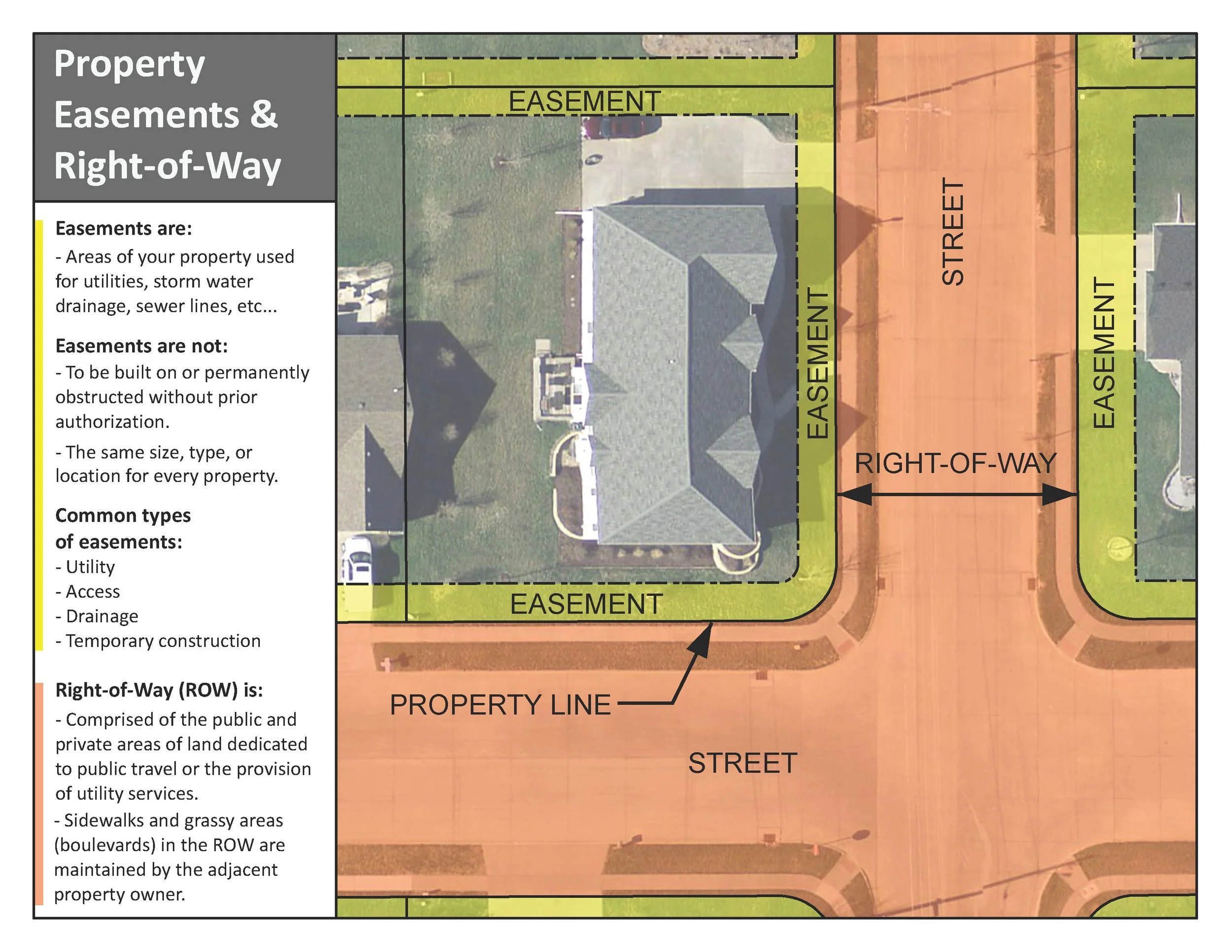
Geographic Information Systems (GIS) is a powerful tool that integrates spatial data with map-making technology. In simpler terms, GIS allows you to visualize and analyze data related to geographic locations. This can include anything from topography to utility easements. For homeowners looking to install an inground pool, GIS can provide crucial information about where you can and cannot place your new oasis.
Why GIS Matters for Your Pool Installation
Before you break ground, you need to be aware of the various utility easements and underground lines that could affect your pool’s placement. Utility easements are designated areas where utility companies have the right to install and maintain their infrastructure, such as water, electricity, and gas lines. Placing a pool in these areas can lead to significant complications and cost and most often will result in a rejected permit application.
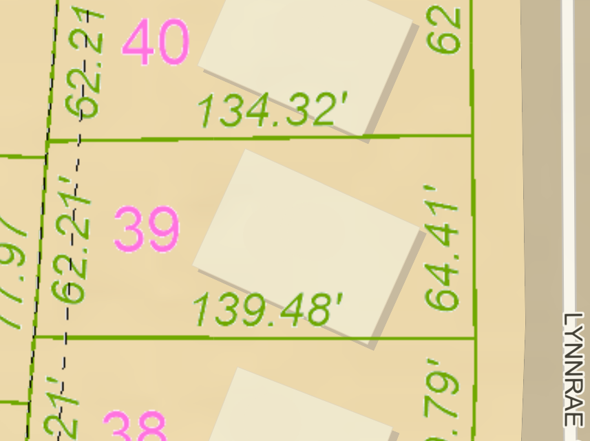
By using GIS software, you can easily pull up detailed maps that show these utility easements in your area. This helps you avoid placing your pool over these restricted zones, ensuring a smooth permitting and installation process and protecting your investment.
How to Use GIS Software for Pool Placement
Let’s take a look at a real-life example to see how GIS can help. If you're in Sedgwick County, Kansas, you can use their online GIS map to check for utility easements. Visit Sedgwick County GIS Maps and enter your address. This tool will display a map with various layers, including utility easements, which you can use to determine the best location for your pool.
But Sedgwick County isn’t the only place where GIS can be helpful. Many other counties and cities offer similar GIS mapping services. Here are some additional resources:
- Olathe, Kansas: Olathe GIS Map
- Kansas City, Missouri: Kansas City GIS Map
Getting the Most Out of Your GIS Search
1. Identify Your Property: Enter your address or property details into the GIS software to locate your specific parcel.
2. Explore the Layers: Look for layers that show utility easements, zoning boundaries, and other important information.
3. Check Regulations: Be sure also to consult local regulations and codes to ensure your pool complies with all necessary guidelines.
By leveraging GIS technology, you can make informed decisions about where to place your inground pool, avoiding potential pitfalls and ensuring a smoother build process. Whether you’re in Sedgwick County, Kansas City, or another midwestern county, these tools are available to help you bring your backyard dreams to life.
Ready to start your pool project? Contact us at Super Pools today for expert advice and installation services. Let’s turn your backyard into a refreshing retreat!


